GIS major applications for the 2024 – 2025 academic year are closed at this time. However, this hold does not apply to those already admitted for fall 2024 or those who wish to pursue a GIS minor or certificate.
Earn your bachelor's degree in environmental GIS, on campus or 100% online.
Prepare for an exciting career in the growing field of geospatial technology. The University of Maine at Machias (UMaine Machias) is the first public university in Maine to offer a four-year program in Environmental Geographic Information Science.
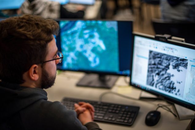
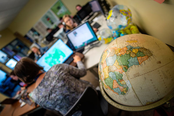
Through our Geographic Information Systems (GIS) Laboratory and Service Center, students will learn to apply GIS analysis to a broad range of real-life scenarios, from urban planning, to land conservation, to assessing regional vulnerability to climate change.
Choose one of three concentrations to hone your skills in a specific sector of environmental GIS:
Available on campus or 100% online:
- Community Applications
- Spatial Data Sciences
On-campus only:
- Ecological Applications
Why UMaine Machias?
- Flexible and affordable. Complete your degree fully online, on campus, or both.
- Through a 4+1 partnership with the Spatial Informatics graduate program at the University of Maine, environmental GIS students with a minimum 3.25 GPA will have the opportunity to apply to take graduate-level coursework online and complete a master’s degree in just one year. Learn more about the 4+1 program.
- At UMaine Machias’s GIS Laboratory and Service Center, students are involved in projects that have real impacts on local environmental policy, such as flood plain mapping for climate change research.
- Qualifying Maine students may earn tuition-free credits toward this degree while they’re still in high school. For more information, visit the Early College site.
- Students are encouraged to research the environmental issues that interest them, becoming effective advocates and influencers.
Interested in getting information specifically for online students?
Visit the UMaine Machias Online pages for the B.S. in Environmental Geographic Information Science or the fully online GIS Applications Certificates.