Environmental Geographic Information Science
*This major is not currently accepting new applicants for the fall 2025/spring 2026 academic year. Please consider looking at our College Studies degree.

You may not know it, but geographic information systems (GIS) technology is everywhere! Have you ever used web-based map services like Google Maps? Have you ever used a GPS in your car, cell phone or on a camping trip? Have you ever tracked a package en route to you via a delivery service like UPS or FedEx? Have you ever used place-based games like Pokemon Go? If you answered yes to any of these questions, you have used GIS technology. GIS refers to computer software, hardware, data, and methods that allow users to easily collect, store and manage map information, create maps, and analyze spatial relationships. With GIS, you can ask geographic questions, solve geographic problems, and communicate geographic ideas. It’s used in government, education and the private sector, particularly in environmental fields.
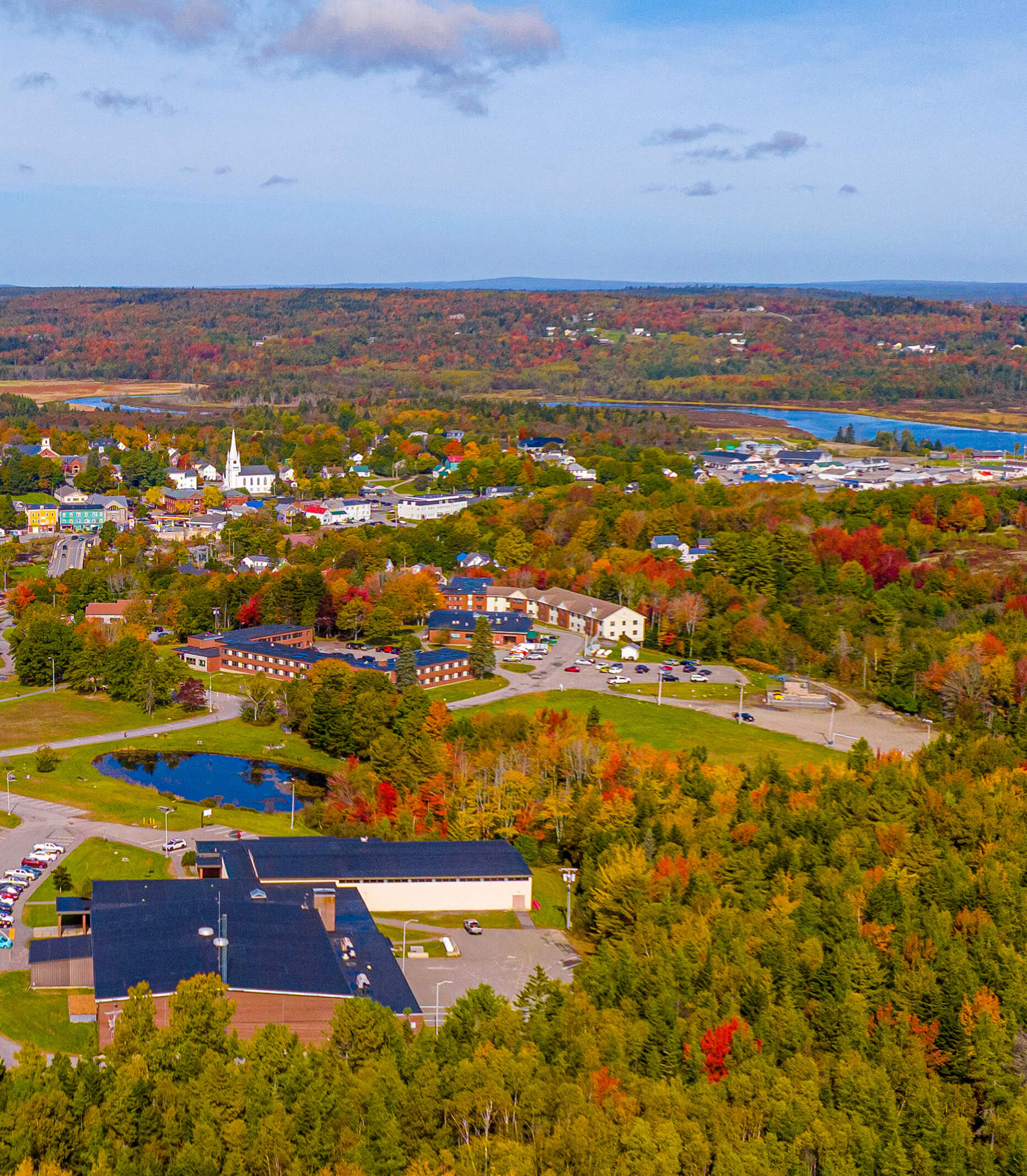
The University of Maine at Machias is the first public university in Maine to offer a four-year program in Environmental Geographic Information Science.
Through our Geographic Information Systems Laboratory and Service Center, students will learn to apply GIS analysis to a broad range of real-life scenarios, from urban planning, to land conservation, to assessing regional vulnerability to climate change.
Why UMaine Machias
Potential Careers
In environmental and outdoor recreation fields, applicants with GIS skills are in increasing demand, making them more competitive in today’s tough job market.